Click on the green letters to check out the Hurricane Ridge webcam.
Read our articles about Hurricane Ridge and other places on the Highway 101 loop, by clicking into “Hwy 101 Loop Around the Olympic Peninsula” in the menu to the left.
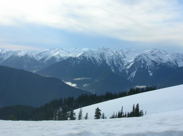
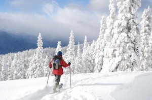
Hurricane Ridge (5,242 ft.) runs east to west on the northern side of the Olympic Peninsula, along the Strait of Juan de Fuca. It offers year round scenery and activities.
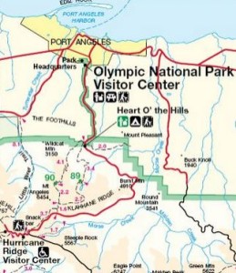
To get to Hurricane Ridge, go seventeen miles south from Port Angeles, along the scenic Hurricane Ridge Parkway. Beautiful, historic Port Angeles is on the Highway 101 loop that circles the Olympic Peninsula.
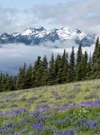
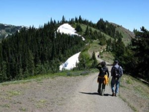
The ruggedly carved ridge contrasts with the soft fields of wild flowers in the sub-alpine meadows below. Hundreds of trails and walks allow visitors to enjoy the splendor.
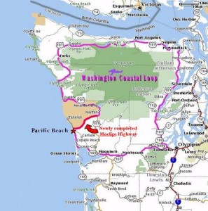
Map from south Thurston County to the Highway 101 loop and Port Angeles –
Map from Port Angeles to Hurricane Ridge –
