Click on the green letters to check out the webcam at Mt. Rainier ‘s Jackson Visitor’s Center.
Read our articles about Mt. Rainier, including current activities, by clicking into “East to Mt. Rainier” on the menu to the left.
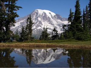
Rising to 14,410 feet above sea level, Mount Rainier stands as an icon in the Washington landscape. It’s the tallest mountain in Washington State, as well as the tallest in the Northwest Cascades.

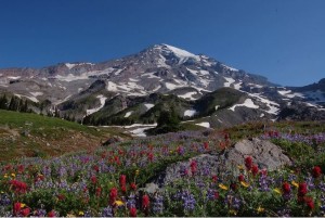
An active volcano, Mount Rainier is the most glaciated peak in the contiguous U.S.A., spawning six major rivers. Sub-alpine wildflower meadows bring color to the icy volcano, while ancient forest cloaks Mount Rainier’s lower slopes. Wildlife abounds throughout Mt. Rainier National Park.

Native tribes called the volcano “Tahoma.” During his Pacific Epedition in the 1790s, Captain George Vancouver named the peak “Mt. Rainer,” after his friend Rear Admiral Peter Rainier.
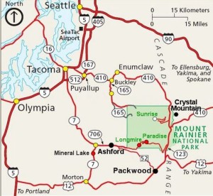
The entrance to Mt. Rainier National Park is fifteen miles from the eastern border of south Thurston County.
 Read about current activities and upcoming events in our breathtaking Mt. Rainier National Park and nearby communities by clicking into the menu to the left.

